
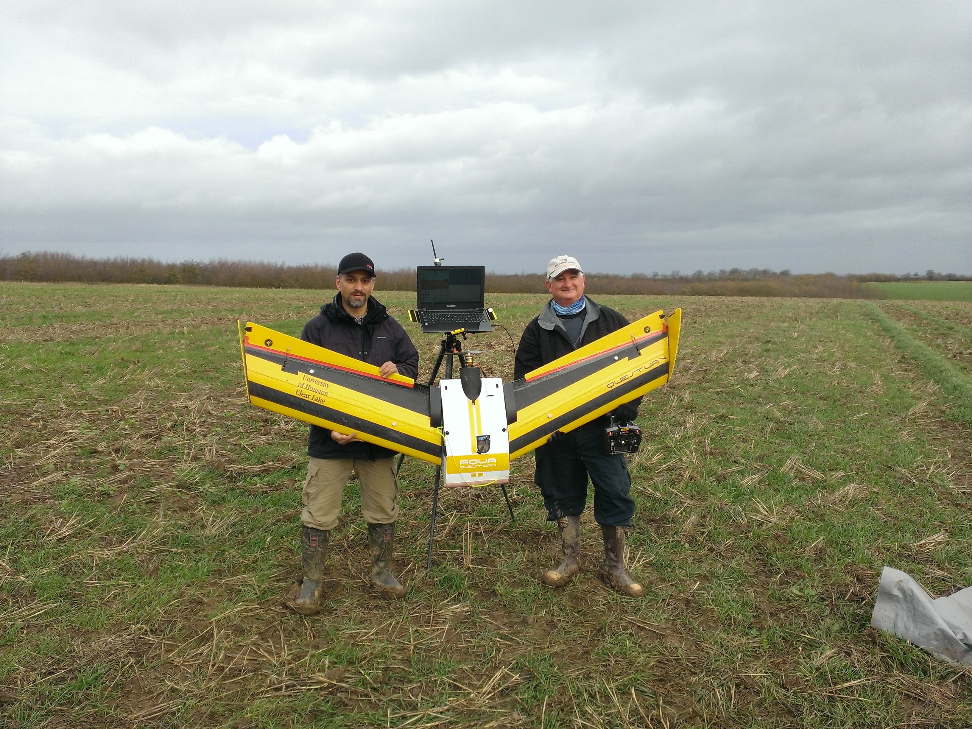
HAWK1 approved to take flight
The Environmental Institute of Houston (EIH) recently obtained Federal Aviation Administration (FAA) approval to fly the QUESTUAV AQUA drone, HAWK1. The unmanned aerial vehicle (UAV) will be used to assist EIH with marine research.
Because drones are still relatively new, FAA has not yet established an official set of regulations. Mustafa Mokrech, senior research scientist at EIH, thinks that within the year there should be something permanent.
“FAA previously gave us a blanket to fly HAWK1 up to 200 feet,” Mokrech said. “Anymore than that, we would need permission. However, recently they raised it to 400 feet within allowed areas.”
EIH uses two methods for their aquatic research: sonar and aerial. HAWK1 was acquired for a research project that investigates low-cost methods for reef mapping. It is equipped with a photogrammetric system that is capable of capturing high-resolution images. This provides EIH with an advantage because HAWK1 is able to fly at low altitudes, collecting more details than the typical satellite or aircraft images would.
Mapping shallow reefs can be a difficult task because of the inability to use traditional survey methods. EIH is hoping that the use of UAV photography, combined with digital image processing techniques, will provide a more effective way to map and assess these reefs.
HAWK1 is designed to operate in wet and dry environments and withstand wind up to 30 miles per hour. It has a wingspan of seven feet, and its endurance is 45 minutes with a speed of 35 miles per hour.
HAWK1 is currently being used for mapping shallow oyster reefs, collecting infrared of native vegetation and studying birds in two locations: Bastrop Bay and West Bay.
“The data we collect from HAWK1 helps identify and map the main bottom elements of oyster reefs at selected sites,” Mokrech said. “ It assists us in determining the composition of the oysters.”
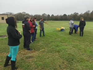
Students at UHCL are intrigued by the idea of being able to see marine life from a drone’s point of view.
“I think it would be neat to see what the oyster reefs look like up close,” said Adriana Herrera, psychology major.
“Hopefully HAWK1’s research will help develop more programs for environmental purposes,” said SGA President A.J. Johnson, business administration major.
The shallow-water oyster reef mapping project was started in July 2015 and is funded by The Gulf Coast Prairie Landscape Conservation Cooperative. The project is ongoing, as EIH is planning on conducting more surveys to map oyster reefs during extremely low water levels in their study area.
EIH has many future plans in store for the drone. HAWK1 will take part in Geographic Information Systems (GIS) classes so students can be exposed to these new technologies. A new program is being developed to map the UHCL campus frequently to study and analyze natural resources and changes that take place on campus.
“HAWK1 provides a valuable data source that will enhance research activities at UHCL in a wide range of areas including: environmental and natural resource management, coastal geomorphology, land cover mapping, evaluation of sea-land interactions and hazard materials management,” Mokrech said.
For more information, contact EIH at eih@uhcl.edu or 281-283-3950.
UPDATED 4/14/16: The article has been updated to show that the previous blanket height was 200 feet.
UPDATED 4/15/16: The article has been updated to reflect the blanket area permitted by the FAA.
Article is very well done.